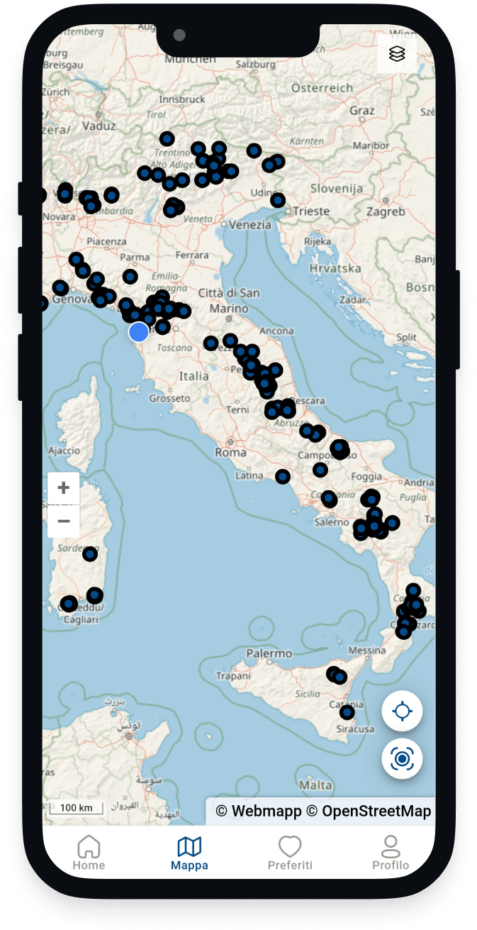
Map and protect
Create a detailed map of Italian springs and monitor their status to study and guarantee their conservation.

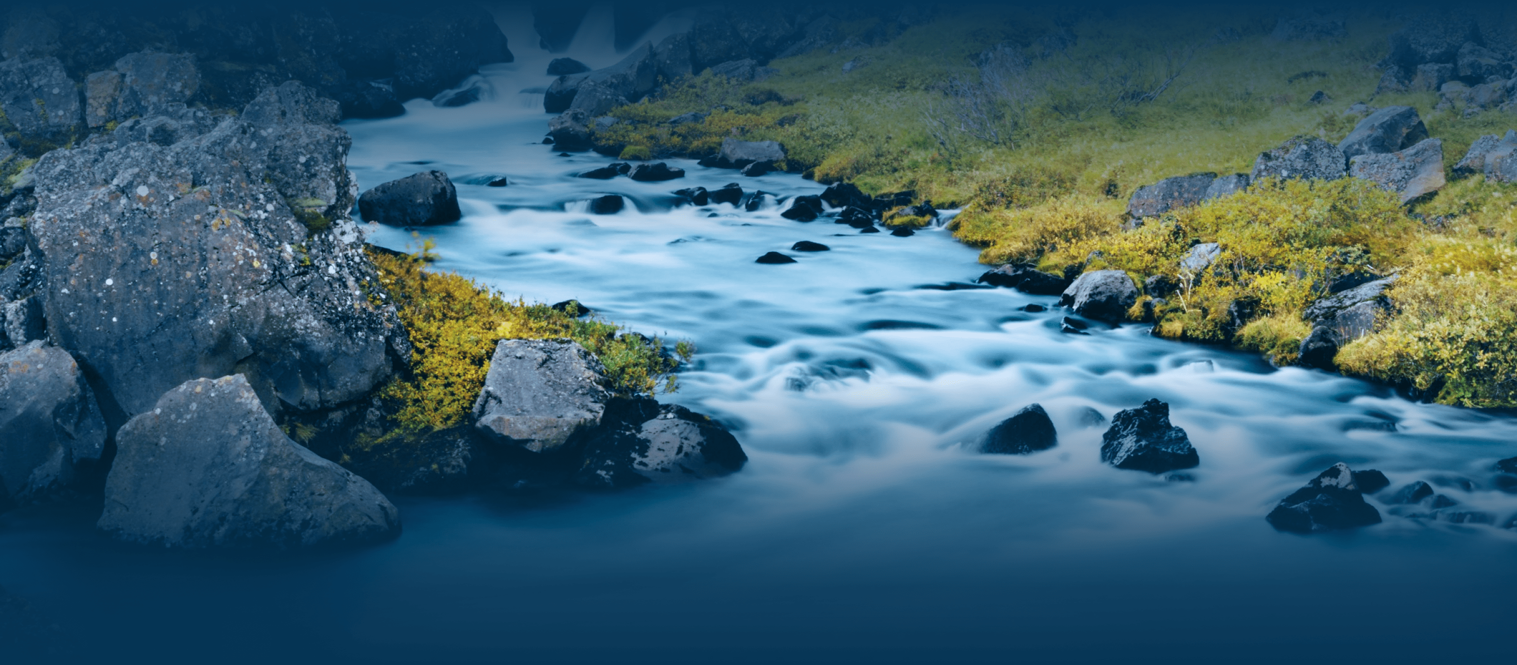
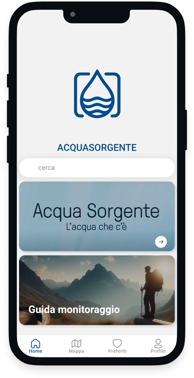
The Alpine and Apennine territories of Italy are rich in springs. How many are there? Where are they located? What are their temporal variations? Find out how to carry out monitoring, download our App!

It is the new Participatory Science project of the Italian Alpine Club for the identification, classification and monitoring of water sources found in the mountain environment throughout the national territory.
The objectives of the Source Water Project are:
Each monitoring helps to know and protect the mountain springs. The validated data are already verified and integrated into the map, the pending ones are in the process
Validated monitoring
Monitoring pending
People involved
Create a detailed map of Italian springs and monitor their status to study and guarantee their conservation.
Citizens can become protagonists of water protection, collecting data and becoming authors of the project, protecting springs and raising awareness of water.
Produce scientific knowledge on water resources through collaboration between experts and citizens.
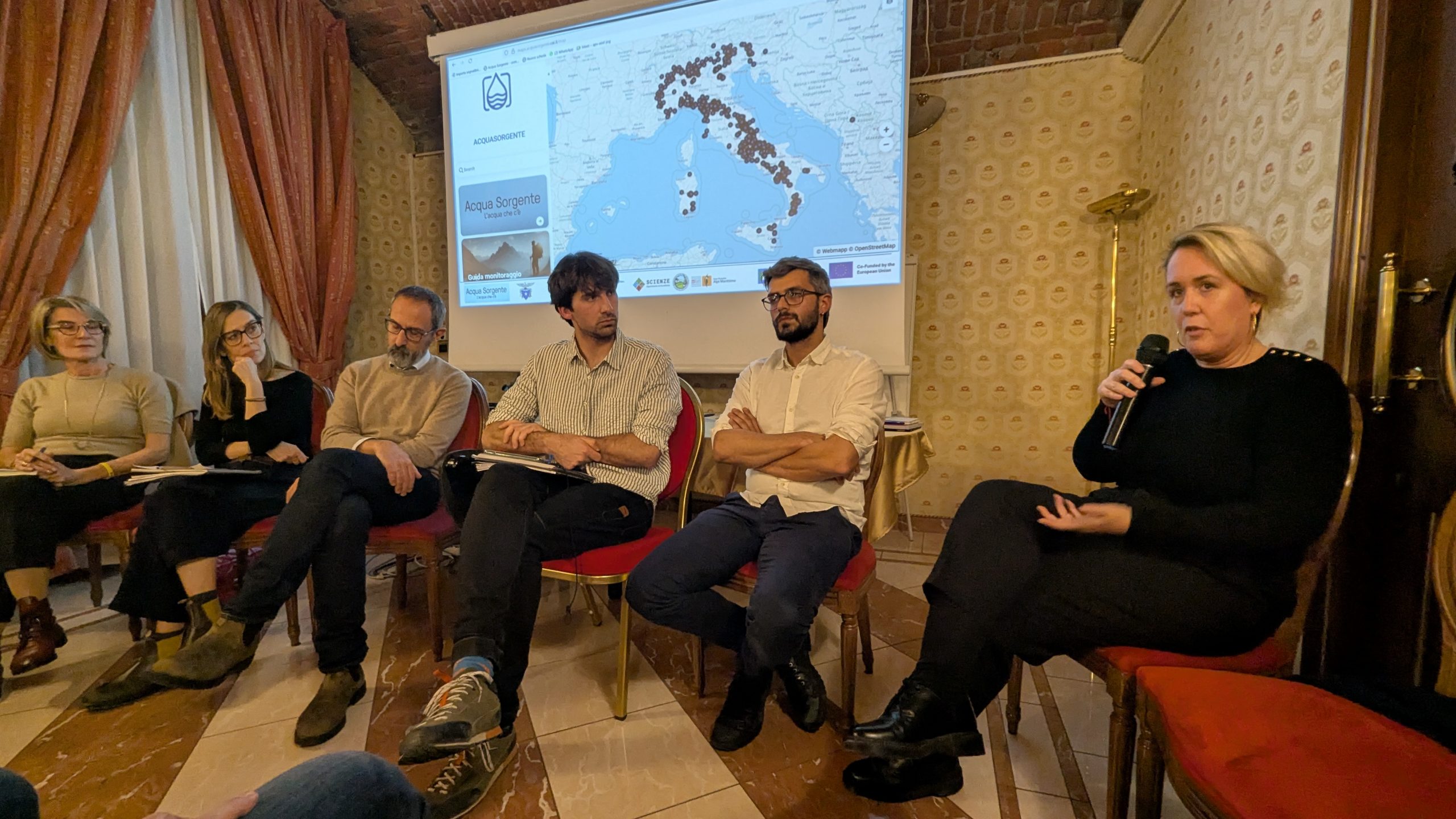
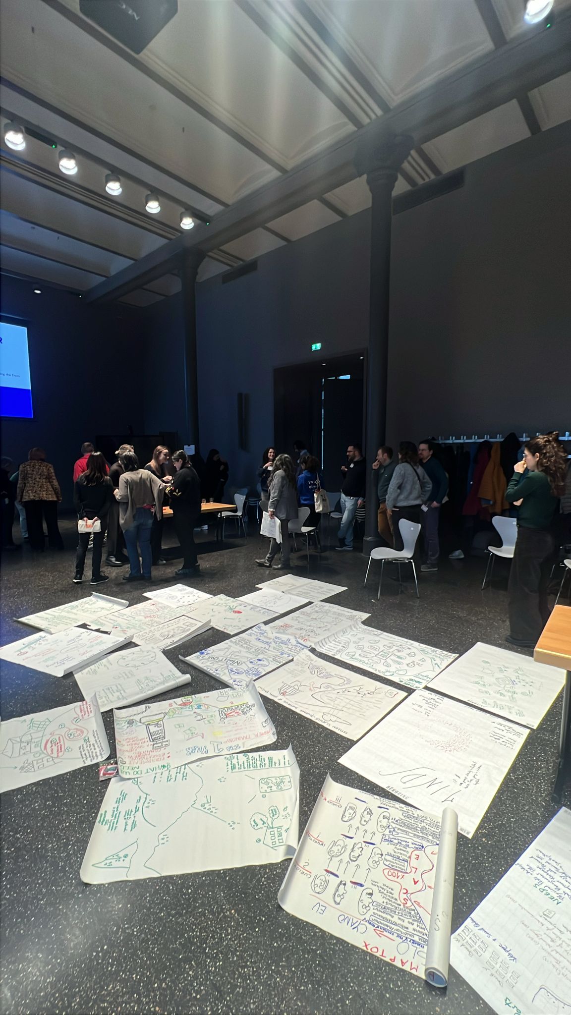
The project has already monitored more than 600 sources throughout the national territory. The results have already been welcomed with great favor by the scientific community with which various collaborations have been stipulated. Furthermore, the project is already returning knowledge to the territories and communities by participating in dissemination events and projects with schools throughout Italy.
The data that those who participate can collect are varied and it is not mandatory to collect them all!
The minimum data for the monitoring to be valid and entered into the database are:
Simply with a water bottle (or other container) you can add:
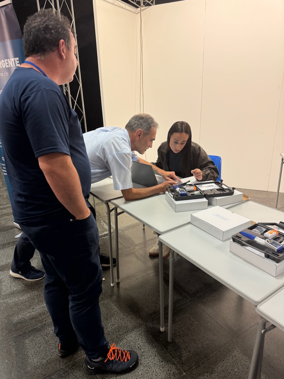
If you have a portable instrument delivered by the project you can add:
The portable tools are delivered to the CAI Sections upon request (LINK to the FORM) and can be used by Members.

Stay up to date on the latest news from Acqua Sorgente.
Stay updated on Acqua Sorgente events and initiatives.
Receive the latest news on Acqua Sorgente and find out how to contribute to the protection of our water resources.